Helyszín címkék:
Blue Trail through the Alföld (Great Plain) region
Hype&Hyper
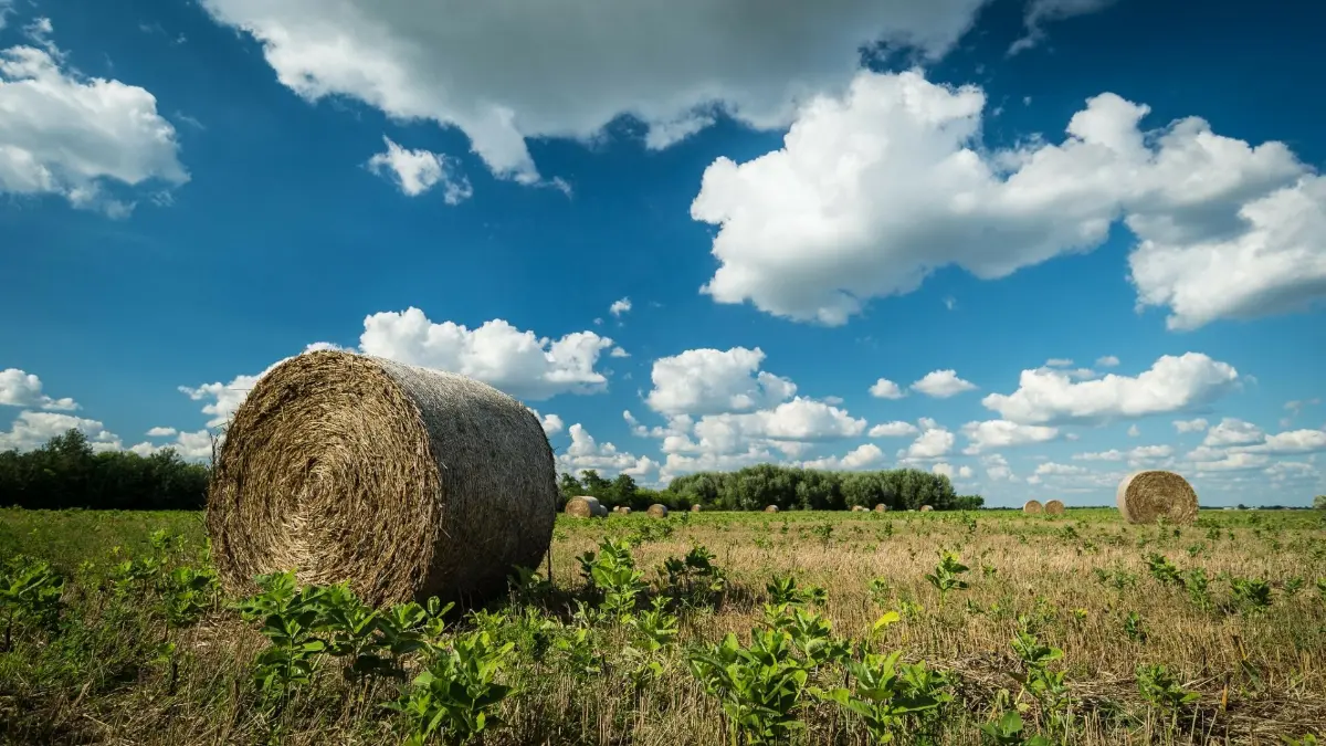
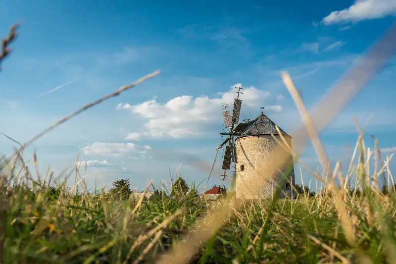
The third part of the tour is the often underrated Great Plain section, which starts from Szekszárd and goes all the way to Sátoraljaújhely in Borsod-Abaúj-Zemplén County, covering some 869 km, or 13 stages to be precise. As with the Blue Trail, this route will also take you through sections of the given distance, this time with slightly different features. Considered to be one of the most magical landscapes in Hungary, it is not the usual opportunities for hikers, it is the landscape itself that is challenging and attractive: the fields, the bittersweet reality of the living farm life, the sand hills and the seemingly endless road. Through these sections, we can understand Petőfi’s ode and why his eagle-soul is released from his prison when he sees the endlessness of the landscape. Undoubtedly, this scenery, together with the more than 800 kilometres, offers an opportunity not only to study the landscape, but also to find spiritual balance.
But how did the Blue Trail end up in the Great Plain?
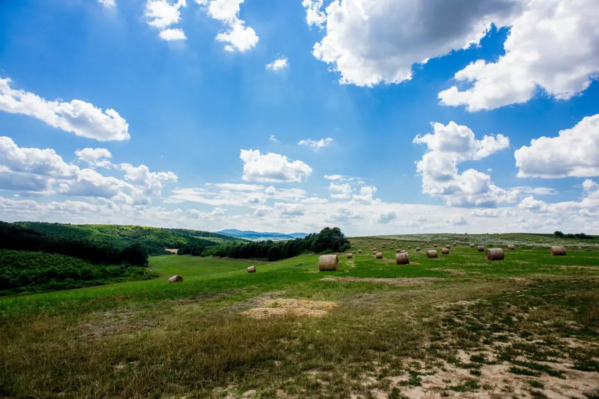
The Rockenbauer Pál trail, which encompasses the National Hiking Trail and the Southern Transdanubia, was already well underway when the Hungarian Nature Hiking Association and its organisations in the lowlands started to discuss the possibilities of the Alföld region in the early nineties. The joint work finally came to fruition almost eight years later, when the Great Plain Blue Trail was inaugurated in 1996, and with it the National Blue Circle, which had united the whole tour, was closed, too. The planning time was dictated by the characteristics of the landscape, with the hydrography of the River Tisza and the plans for the Southern Motorway having a major influence on the route. Smaller towns in the surrounding area, such as Szarvas and Mindszent, were the solution to the issue of crossing, while the unrealized project was meant to be the solution to the latter. This illustrates that the lowland section is very different from the two previous ones, although the main design requirement was to ensure that the route crosses as much forest as possible, despite the exceptional conditions, and that it passes through both built and natural sights. Since the spring of 2020, there have been 13 sections instead of 10 for the enthusiastic “blue trailers”, following much more optimised and culturally rich trails. The main objective seems to have been achieved: to show the boundless beauty of the wilderness and to create a single network of hiking trails in the south and east of the country.
The essence of the route
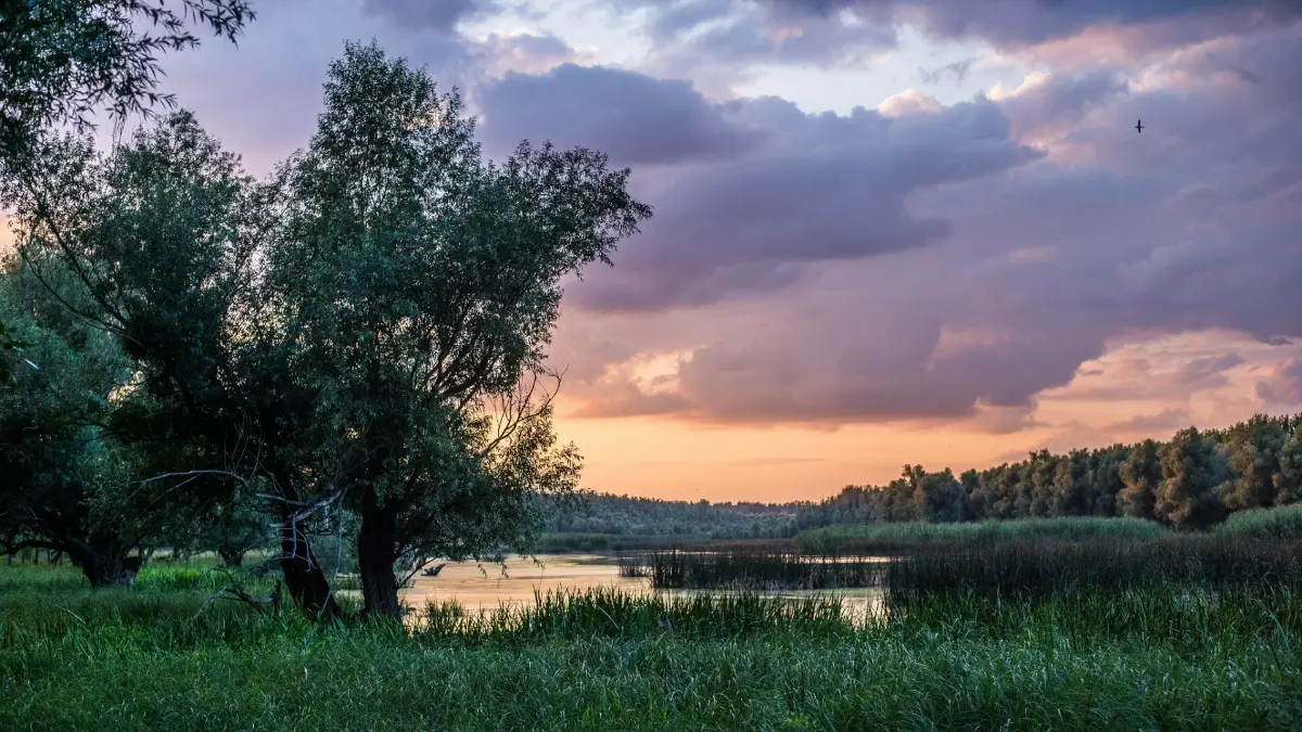
We already know that it is special, but we haven’t yet been clear about what makes it special. The charm of the lowland region, which at first glance may seem monotonous, ironically lies in its unexpectedness. Starting from Szekszárd, you can still feel the heat of the hilly plains, while the valley-like character of the Tolna landscape hides isolated corners: sometimes wine-growing regions that appear as oases, sometimes small villages that are becoming abandoned. During the hike, the hiker may also encounter the meandering backwaters of the fairytale-like Gemenc Forest, which can take the hiker by surprise and break his or her steady rhythm. On the second section, after the Baja crossing, the sandy road comes into view, through which you go straight to Hajós, famous for its cellar village. The cellars of Hajós are a major tourist attraction, a gastronomic and architectural jewel of the region. Passing through the Bácska plains, you get a taste of the cultural heritage of the Danube-Tisza area, and then enjoy hours of social solitude in the company of nature. Arable lands are already proliferating again in the corner of Körös-Maros, changing the landscape depending on the season. Passing through table-smooth landscapes, we arrive in the realm of abandoned mansions, water and birds, in the Bihar plain, and then the sand is back underfoot again, all the way to the border of Debrecen. From then on, the sand hills and the forested wastelands wrestle with each other, and it is also important to mention the Árpád-era church of the section between Nyírbátor and the Halápi tavern. One of the endpoints of the Blue Trail of the Great Plain winds along the flat Bodrogköz, where the end of the road and the wilderness is marked by the harsh lines of hills and mountains above the plain. To sum up, from hill to mountain, over sand, in terms of the conditions and the experiences, we quote Petőfi again: “And smiling at me is the image of the plains stretching from the Danube to the Tisza.”
