Helyszín címkék:
The Most Beautiful Hikes in Őrség and Vendvidék
Partner content
An article from Turista Magazin.
What exactly will it cover?
- The unique natural and ethnographic treasures of the Őrség region
- The three hiking trails: the Őrvidéki Piros, the detour leading to Hármashatár, and the main attractions of the green trail
- Must-see sites in the Őrség region, the requirements for earning a badge, and the unforgettable experiences offered by the hikes
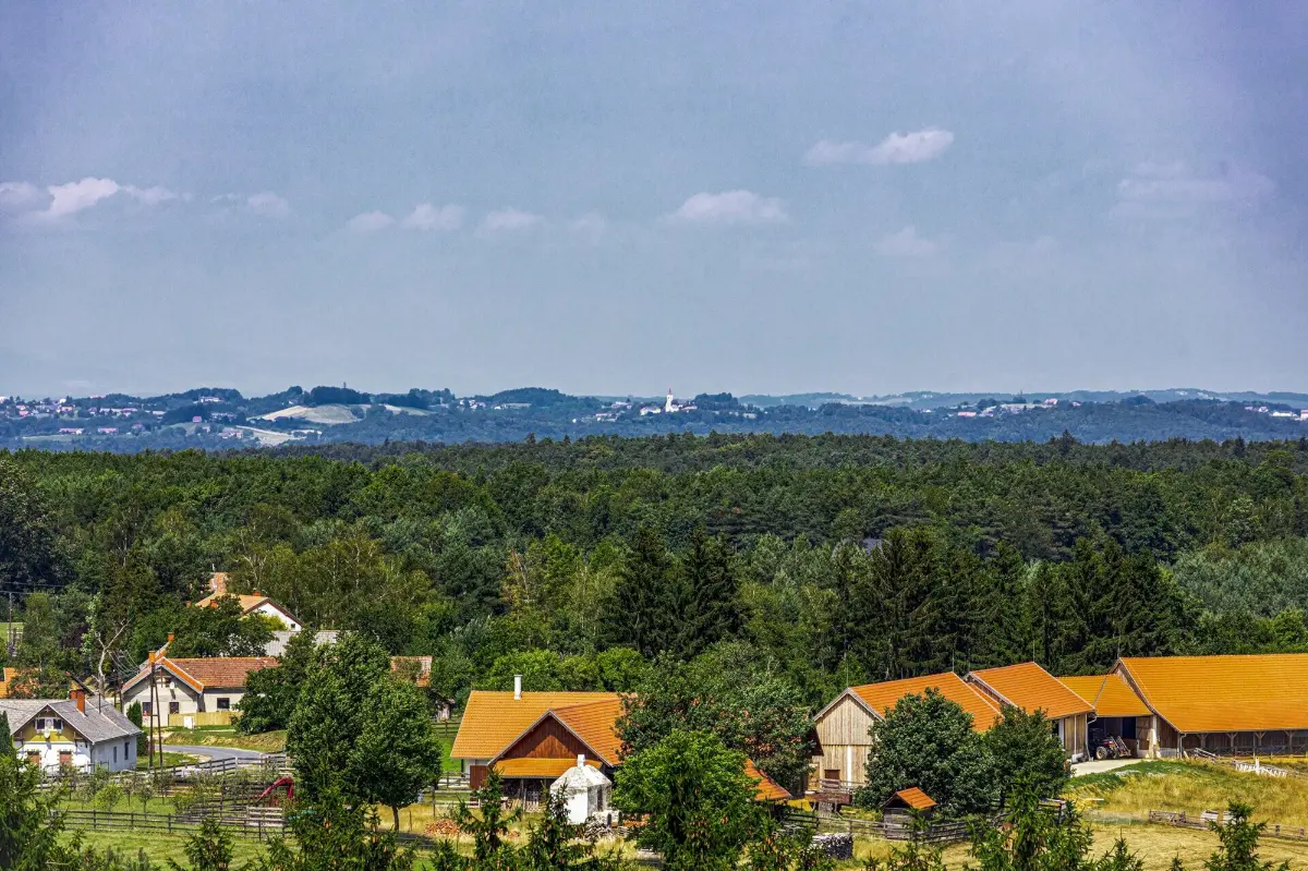
The badge-earning hike called Őrvidék Turistája (meaning: The Tourist of Őrvidék) brings together the region’s attractions – including three hikes of varying lengths and seven attractions that can be visited from any direction, bringing together the region’s highlights – exploring them promises an unforgettable hike for anyone seeking the intimate silence of nature and the classic idyll of secluded villages. Here, in fact, the characteristic villages of this landscape – protected by the stunningly beautiful Őrség National Park – still preserve the ancient, so-called “szeres” settlement pattern, whose small communities of just a few houses perched on hilltops are hallmarks not only of the Őrség region but also of the Vendvidék region, which shares a similar landscape.
The hike organized by the Hegyek Vándorai (‘The Wanderers of the Mountains’) Hiking Association aims to showcase the harmonious blend of these two regions’ past, their magnificent buildings saved from decay, and at the same time, their vanishing way of life.
Let’s see, then, how the hike’s logbook guides us through this unique region!
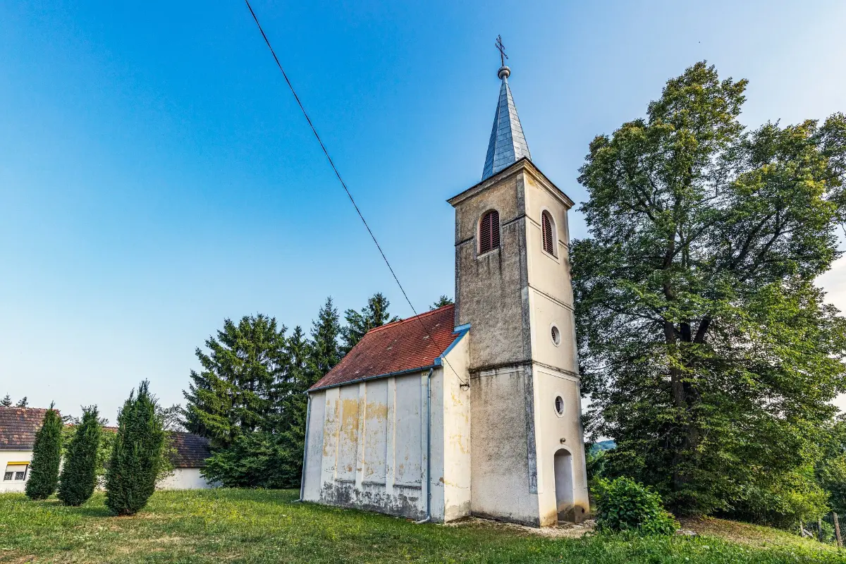
The “Őrvidék Red”
We begin our first hike in Zalalövő, a town boasting Roman-era ruins, a local history museum, and ornate churches, located just a few kilometres east of Őriszentpéter, the regional center. From here, we’ll embark on a nearly 70-kilometer hike – which you can break up into sections as you like – following the red hiking trail all the way to Szentgotthárd, located on the Austrian border.
During the hike, which can be completed in as little as two days, we’ll pass numerous places to eat and rest, which not only make the walk more comfortable but also add charming highlights to the trip.
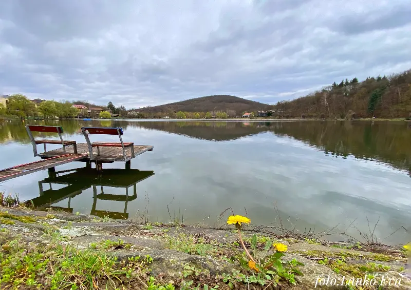
Right at the start, on the outskirts of Zalalövő, lies one such spot: the captivating surroundings of Lake Borostyán – which is also suitable for swimming – offer numerous opportunities for relaxation. We’ll pass through Hegyhátszentjakab, famous for its 13th-century church, and on its northern edge we’ll find Lake Vadása, where we can also go swimming.
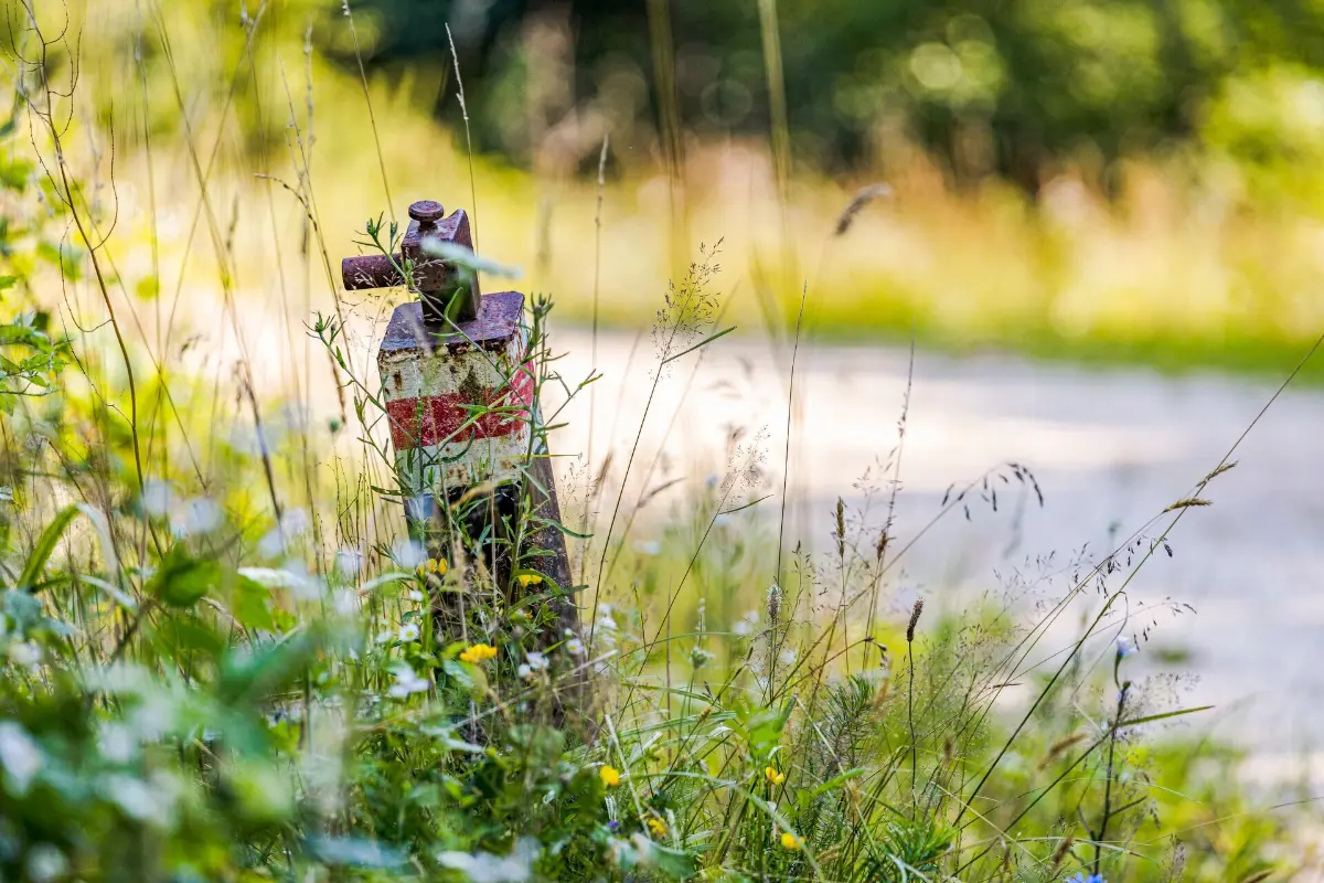
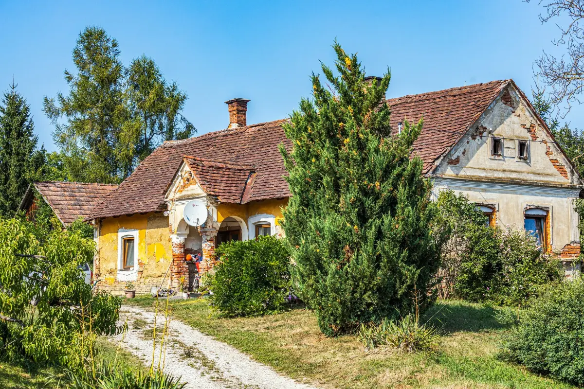
Let’s continue our trip to Szaknyér! In one of the Őrség region’s smallest villages, with a population of fewer than 60, we can still see a few beautiful buildings with porches, as well as houses with “kódis” shelters (this type of house gets its name from the travellers who spent the night in the covered entranceway). Our next stop is Kisrákos, where the scattered settlement pattern so characteristic of the Őrség region begins to emerge, but here we can also admire a unique exhibition of more than 100 cast-iron stoves at the village community center.
The “szer” settlement structure
In the Őrség region, groups of buildings constructed on hilltops – sometimes consisting of just a few houses and separated from one another – are called “szer.” These “szer” groups preserve in their names the names or occupations of the families who once lived there, or perhaps some characteristic feature of the place. Since the Hungarian conquest, its inhabitants have served to defend the borderlands, a fact also reflected in the name “Őrség” (referring to a region of guards). In 1286, King László IV granted noble rights to the clans performing the region’s guard and defense duties, rights that remained in effect until the border fortresses were built. But it wasn’t just for defence that the locals settled on the hilltops; the clay-soiled, waterlogged, marshy valleys also compelled them to do so, as these areas are practically unsuitable for permanent habitation, especially during the winter floods.
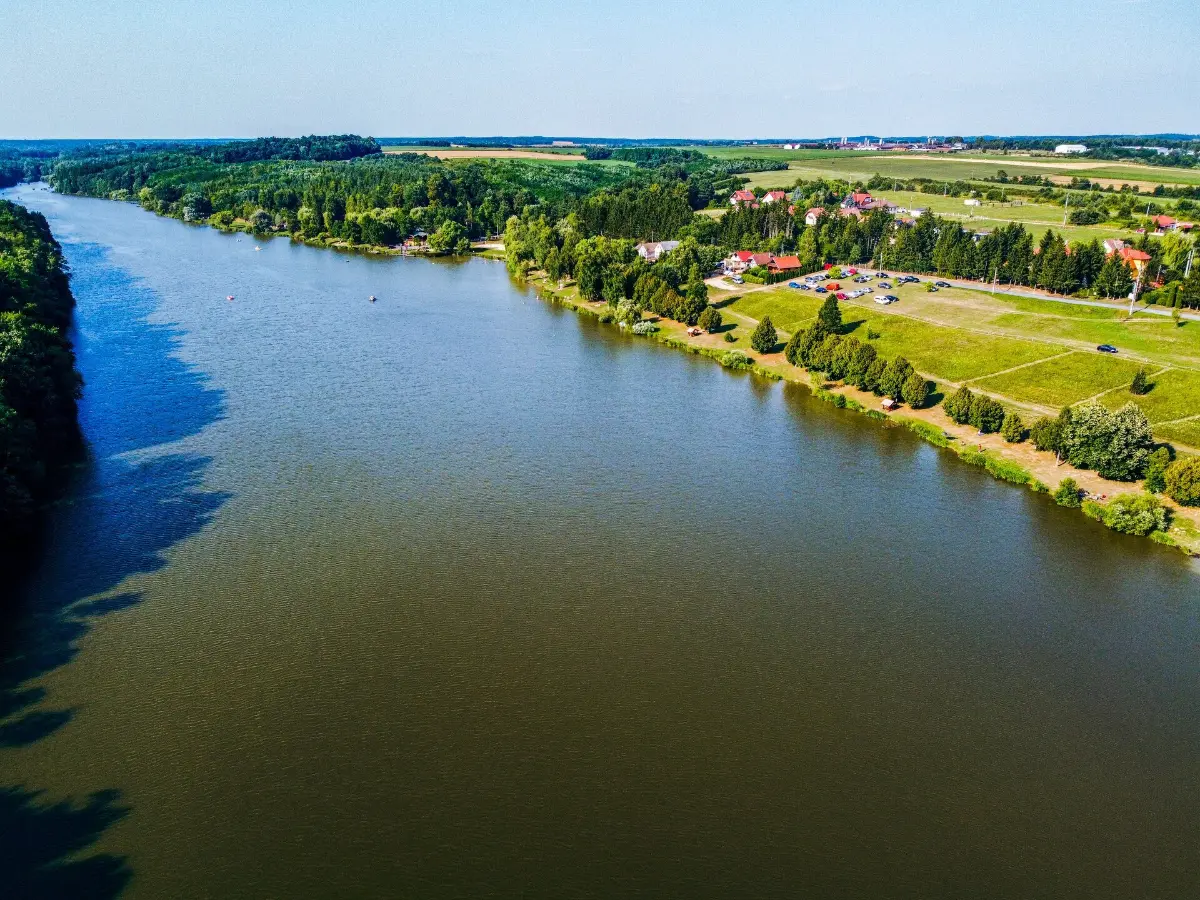
We leave Kisrákos at Fodorszern, then head straight toward Ispánk along a long, straight road; the people of Őrség consider it the “center of the world.” The village presumably earned this playful title because it was once difficult to reach, and also because the church tower casts no shadow (since the village has no church). Here we find the pleasant Béke Liget park, which we can explore after passing through a gate carved in the Székely style. Not far from the village, we reach Lake Bárkás, which is also marked by the red trail, near which a charming forest rest area has been created. Through a grove-like forest, with gentle ascents, we reach Kondorfa. At the 24th kilometer of our hike, an inn and lodging that faithfully preserves traditions awaits guests, though examples of folk architecture can be seen throughout the village.
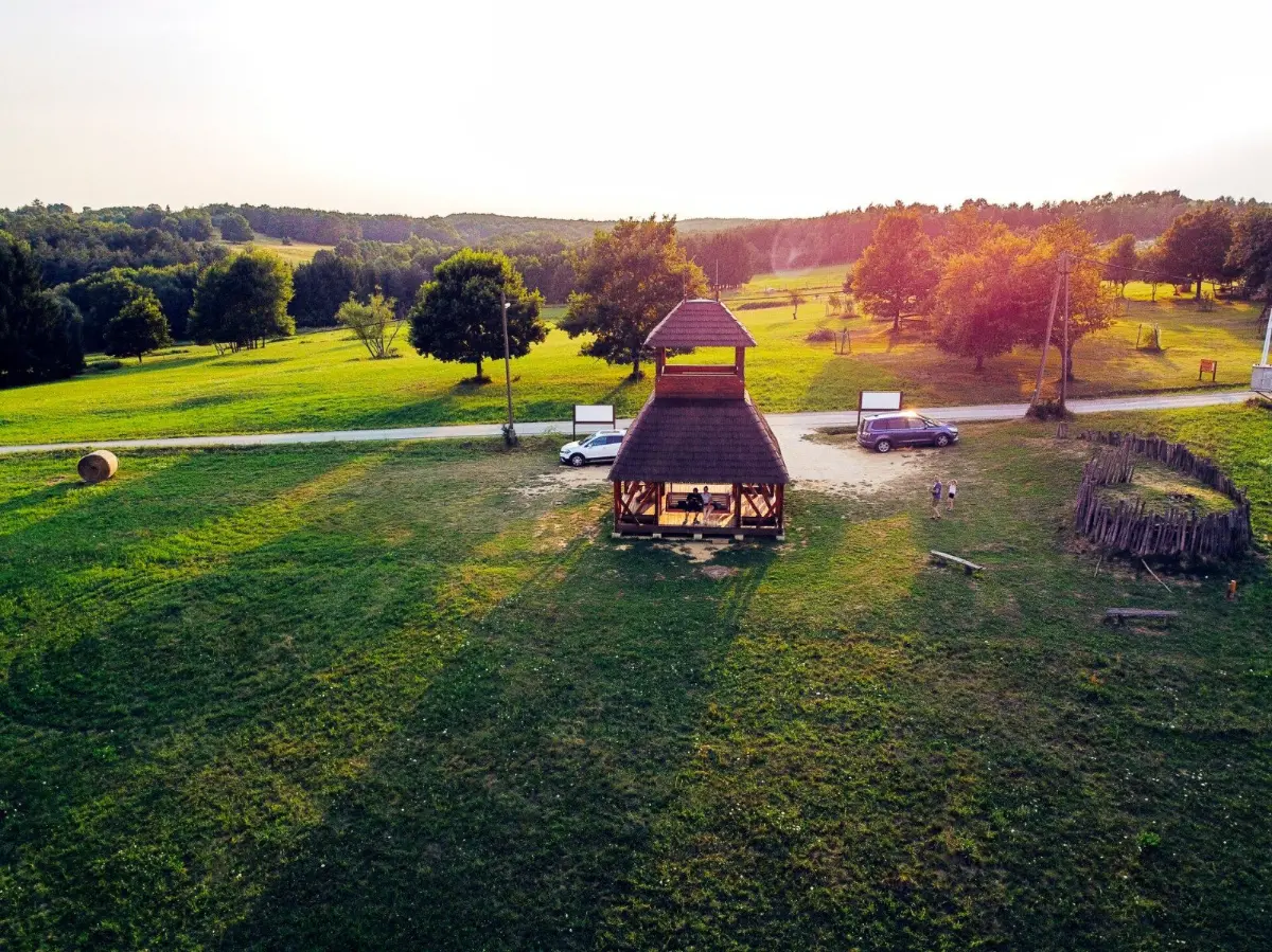
Shortly after Kondorfa, we cross the Lugos Stream, then traverse dry riverbeds of varying sizes until, after passing the Nagy-árok, we climb up to Farkasfa, a small village situated on the border between the Őrség and Vendvidék regions. From this village, famous for its bell tower, we continue through an increasingly varied landscape: poplar groves and pine forests alternate. West of Orfalu, we reach the Hungarian–Slovenian green border. We follow the white boundary stones for nearly 1 kilometer – passing right by Slovenia’s northernmost point – before arriving at the Bűricza Lookout Tower on the outskirts of Kétvölgy.
From this imposing wooden structure, we can admire the gently rolling countryside of the Őrség and Vendvidék regions, and even on misty days, the majestic ranges of the nearby Alps are clearly visible.
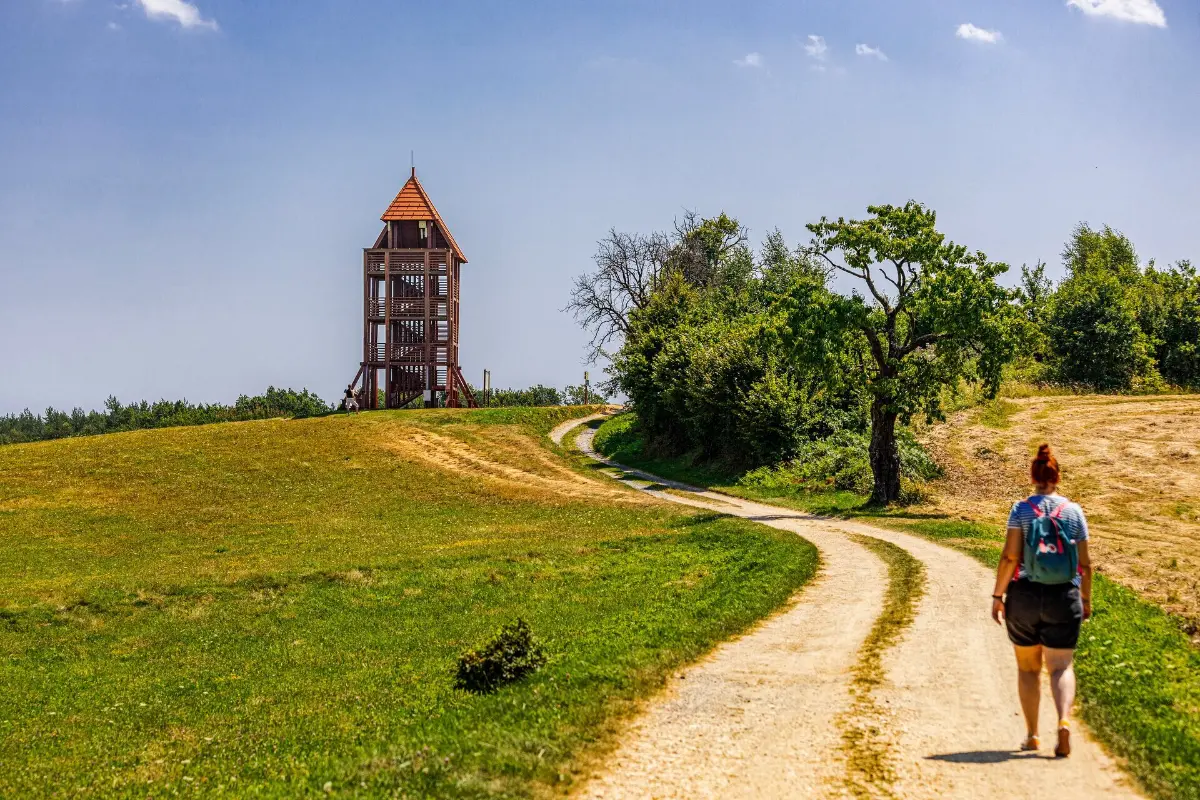
Set in this scenically captivating environment, Kétvölgy was formed in 1950 through the merger of Permise and Ritkaháza (it received its current name in 1951) and, together with neighbouring Felsőszölnök, is one of the settlements in the Vendvidék region with a Slovenian ethnic population.
Vend Region
The Slovenes living in Hungary are traditionally called “Vends.” The Vend Region refers to a historical and ethnographic region that spans our national borders. The residents of the Vend villages located in present-day Hungary are partly of Slovenian descent and continue to preserve their traditions.
A Detour to the Triple Border, or Hike No. 2
Our hike passes through Felsőszölnök, Hungary’s westernmost settlement. Here, you can see both beautifully renovated farmhouses and dilapidated houses – a sign of depopulation – which clearly illustrate the region’s isolation, yet also its untapped potential. From the western edge of this neat little village, following the red triangle markers along the Szölnöki Stream as it babbles through the Hampó Valley, we reach the Austrian–Slovenian–Hungarian tripoint, which has existed since 1922. After World War II, the area was inaccessible. The border, marked by barbed wire, was guarded by soldiers; then, on May 27, 1989, the very first opening of the Iron Curtain took place here at the memorial stone marking the tripoint, where the three nations have held a ceremonial gathering every year ever since. The 4-kilometer detour from Felsőszölnök is listed as Hike No. 2 in the logbook, so it definitely makes sense to combine the Triple Border checkpoint with the red trail.
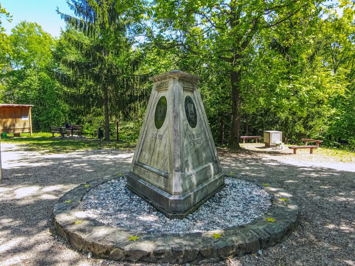
We’ve covered 47 kilometres to Felsőszölnök, and from here, nearly 20 more kilometres await us on the red trail leading to Szentgotthárd.
We climb up to the ridge of János Hill, located northwest of the village, and from there continue our hike along a gravel-and-crushed-stone ridge trail, offering breathtaking views to the right and left of the surrounding hills, as well as the magnificent mountains of Austria and Slovenia.
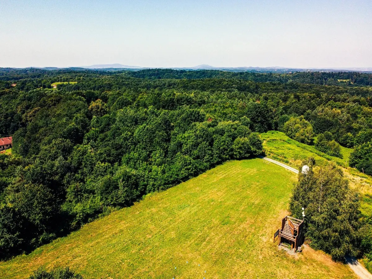
Along the way, we see characteristic folk-style crucifixes, and shortly thereafter, at the highest point of Alsó-Jánoshegy, we come across a small lookout tower, which is more notable for its interesting wooden structure than for its panorama. Passing through scattered clusters of houses and then crossing the Szentgotthárd highway, we begin a long, winding stretch through the forest. Our trail reemerges from the green landscape on Zsidahegy, which lies on the outskirts of Szentgotthárd. From this hamlet – consisting of just a few houses and belonging to Szentgotthárd – we are only 3 kilometres from the town center.
Many people regard Szentgotthárd, a town with a population of nearly 9,000, merely as a border crossing point, knowing little or nothing about the true character of this historic settlement. Now that our hike has led us to the town located at the confluence of the Rába and Lapincs rivers, we can get to know its treasures more closely. It was named after the patron saint of its church, built in the 13th century. The Church of the Assumption of the Virgin Mary is located on the main square, named after Kálmán Széll – a former member of the National Assembly who represented the region. The small promenade on the square and the houses built in the 18th and 19th centuries exude an atmosphere that evokes the past. Here, you can see the statue of King Béla III, who founded the town in 1183, the town hall, and the unique Granary Church, which now serves as a theatre.
The “Green” Hike
Listed as Hike No. 3 in our logbook is the green-marked trail stretching between Nagyrákos and Gödörháza, which is just 16 kilometres long. This route, which can be comfortably covered in a single day, begins in Nagyrákos – a village comprising five hamlets (Nemesszer, Alsószer, Csárdaszer, Devecserszer, and Belsőszer) – but you can also reverse the direction of the hike if you prefer.
Nagyrákos boasts Hungary’s longest railway viaduct, stretching 1,400 meters, and the Nagyrákos section of the track also includes a 375-meter-long tunnel.
In addition, we can admire the village’s traditional heritage house and its old residential buildings, beautifully decorated with flowers, before crossing the Zala River and heading south to leave this friendly village behind, then walking on to Kerkáskápolna. A few old farmhouses and a bell tower set the scene for this sleepy little village, home to about sixty people. Even fewer live in Magyarföld, located on the other side of the nearby Kerka Stream, where the green trail continues, but this tiny village has a unique, modern wooden church that is definitely worth seeing.
So far, we’ve been traveling through somewhat monotonous terrain in a region that is otherwise rich in wildlife, but a more varied landscape awaits us in the shady forests of Bükkösd and along the cellars and wine press houses of Berki Hill. The final meters of our Green Trail lead us along ploughed fields to Gödörháza, which belongs to Magyarszombatfa.
This village, which once made its living from pottery, boasts the second-oldest bell tower in the Őrség region – a skirted, shingled structure built in 1790.
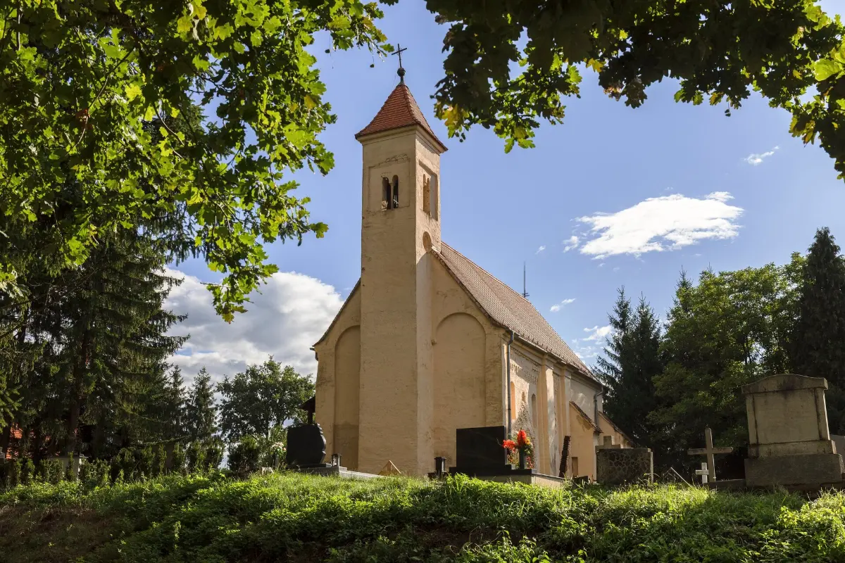
In Magyarszombatfa, you’ll find one of our checkpoints accessible via any route: the pottery house showcasing the region’s unique ceramic works; but just 3 kilometres from Gödörháza, near Velemér, there’s another checkpoint to visit. The latter is one of Hungary’s most significant medieval Romanesque monuments: the Holy Trinity Church, whose walls are adorned with frescoes by János Aquila.
Must-See sites in the Őrség Region
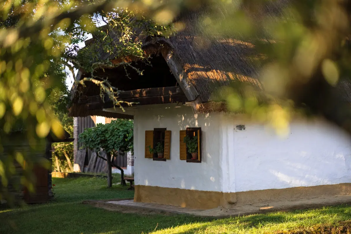
Although we’ve already experienced the magical atmosphere of this stunning region during our hikes, there are still a few sights here worth visiting – not just to fulfill the requirements of our stamp booklet. Among the spots you can visit at your leisure is Pityerszer, part of Szalafő, which is now best known as the Örség region’s village museum. Most of the beautifully restored and well-maintained thatched-roof farmhouses on display here were built in the 19th century, and the farm buildings offer a glimpse into the daily lives of the village’s residents.
Another must-see stop on any tour of the Őrség region is Őriszentpéter, considered the center of the area. This town, consisting of nine hamlets, boasts numerous historical sights and dining options. We need to collect our stamp at the Árpád-era church in Templomszer, but we definitely shouldn’t miss the Őrség National Park Directorate’s visitor center, the local history collection, or perhaps the Malom Visitor Center, which hosts various programs.
Halfway between Nagyrákos and Kisrákos – locations already familiar from our previous tours – lies Pankasz, where a magnificent bell tower serves as the checkpoint, just as it does in Szomoróc, located north of Magyarszombatfa and part of Kercaszomor. Having also become acquainted with the treasures of the Vendvidék region on the Hungarian side during our journey through Őrség, Kapornak (Krplivnik in Slovenian), located on the other side of the Hungarian–Slovenian border, rightfully features in our guidebook as an unmissable destination. A visit to the Őrség Ethnographic Collection there is important not only for collecting the verification required for the badge but also because it provides further insights into this unique region. The easiest way to reach Kapornak is via the nearby border crossings at Szomoróc or Felsőkotormány.
Unforgettable experiences
Anyone who has explored Őrség will never forget the pleasantly tart scent of resin in its forests, its meadows filled with colourful flowers, its bountiful array of mushrooms, its fabulous orchards – from which the locals prepare countless delicacies – its historic buildings and villages that capture the idyll of days gone by, furthermore, the all-pervading tranquillity that envelops the entire landscape. Everyone should see this magnificent region at least once.
Information on earning the badge
To earn the badge, you must hike at least 87 kilometres over three hikes and visit 7 designated historical monuments and local landmarks along any route of your choice. The Őrvidék Tourist badge-earning hike logbook, which also serves as an itinerary, can be downloaded for free from the Hegyek Vándorai Tourist Association website. The hike routes can only be completed on foot, and completion must be verified with a stamp or a photo, or by answering a question related to the specific location. Recorded GPS tracks are not accepted. After completing the hike, the verification sheet must be sent by mail or e-mail to the association’s address; following review (for a fee of HUF 500), successful completion is rewarded with a pin.
Explore the country with the Hungarian Hiking Association!
If you’d like to learn more about Hungary’s natural and cultural treasures, visit the Turista Magazin website, published by the Hungarian Hiking Association, for tips and ideas, or download the Természetjáró app with maps, which recommends the best hiking, biking, and water tours across the country.
Photos: Hungarian Hiking Association (Turista Magazine) / Márton Csanádi / MTSZ (Photos 1–6, 9, 11)
Photos: Hungarian Hiking Association (Turista Magazine) / Péter Lánczi / MTSZ (Photos 7–8)
Photos: Hungarian Hiking Association (Turista Magazine) / Péter Farkas / MTSZ (Photos 10, 12)